-
Share this page
Sabine Vanhuysse
Researcher
Description
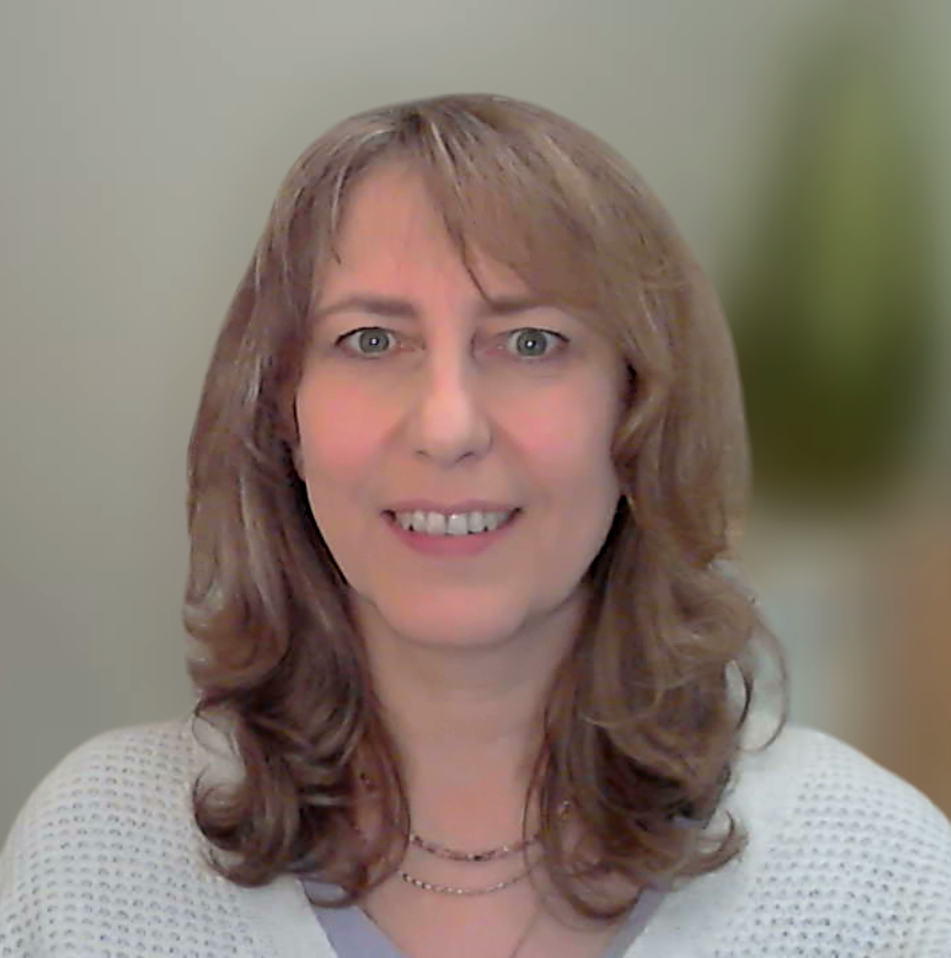
Sabine Vanhuysse is an Earth Observation and GeoInformation scientist. She has been part of the ANAGEO team since 2002, working mostly in international inter-disciplinary research projects. Her research themes cover the study of spatial variation of hazard and risk, spatial inequalities, urban deprivation (including slum/informal settlement mapping), access to healthcare, population vulnerability, urban malaria, and habitat suitability (e.g., in vector-borne diseases). She has a specific interest for the analysis of human-environment interaction, and she seeks to bridge the gap between EO and GI research and its use for sustainable development. Her expertise in remote sensing lies mostly in the processing of high- to very-high resolution satellite imagery (e.g., Sentinel-1/2, SPOT, Landsat, WorldView, Pléiades, etc.) and airborne imagery, through machine-learning based techniques.
- Teaching
-
Sabine has been contributing to the Open GIS training for young professionals in LMICs since its inception, teaching in several modules such as EO fundamentals, spatial data processing, spatial multi-criteria decision analysis etc.
- Research projects (selection)
-
2021-2022: PARTIMAP
2021: MOSQUIMAP
2019-Now: SLUMAP
2019: Has She Access ? (SheDecides)
2017-2019: REACT
2016: MAUPP
2012-2015: TIRAMISU
2006-2011: EPISTIS
2006: Study of soil sealing evolution over time in the Brussels-capital Region, Belgium
2002-2004: SMART - Publications


